Accessing Your Imagery
FHI writes every generated image directly into a storage container associated with your account — there is no per-file delivery API. This page walks through requesting access and browsing/downloading your imagery with a storage tool of your choice.
1. Request a storage access token
Call the SAS token endpoint to get time-limited, read-only access to your imagery:
see Get Storage Access (SAS Token) for
the full request and response shape. The response includes an account_name, a
file_system, a sas_token, and a path prefix.
2. Connect a storage browser tool
The returned token works with any storage-compatible SDK, CLI, or graphical browser tool that supports connecting via a shared access signature (SAS) URL — for example, a storage-browser desktop application, a cloud provider's CLI, or your own code using a storage SDK. Connecting typically looks like:
- Open your storage browser tool and choose the option to attach/connect to an existing resource using a SAS URL or connection string.
- Provide a name for the connection (e.g.,
FHI files) and the SAS URL made up of youraccount_name/file_systemandsas_tokenvalues. - Connect. You should see your customer folder listed at the root of the container.
3. Navigate the folder structure
Imagery is organized using a deterministic hierarchy:
{customer}/fhi/planet/{field_id}/{date}/{image_type}.tiff
Where field_id is the identifier you supplied at enrollment, date is the imagery
date (YYYY-MM-DD), and image_type is one of the outputs described in
FHI Overview — Output types.
Example: bayer/fhi/planet/FIELD_001/2025-02-15/ndvi.tiff
4. Download files
Select one or more files under a {field_id}/{date}/ folder and download them using
your tool's standard download action. Files can be downloaded individually or in bulk,
depending on the capabilities of the tool you're using.
What you'll see
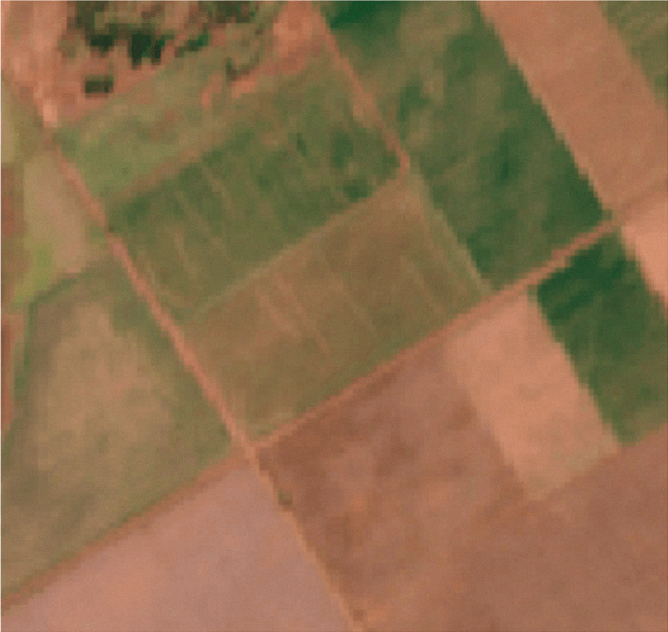
A natural-color reference image helps you confirm imagery quality (e.g., cloud cover) before interpreting analytics:
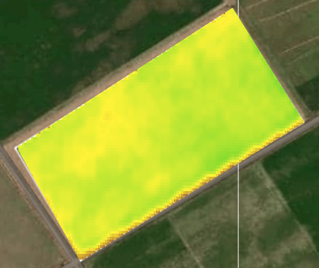
Vegetation maps give an absolute, ready-to-read interpretation of crop health:
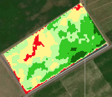
Scouting maps highlight areas that may need field scouting. These are a relative interpretation — avoid comparing scouting maps across different dates directly: