Overview
Smart Boundary Ag-Powered Service (APS)
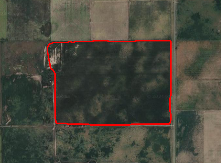
The Smart Boundary Ag-Powered Service takes as input the longitude and latitude of a location known to be on a field tract, and a date range for satellite imagery. For example, here is a visualization based on the Smart Boundary output for a location in Argentina based on imagery from April 2023:
Supported Regions
The Smart Boundary APS uses Sentinel 2 as source for satellite imagery through Microsoft Azure Data Manager for Agriculture (ADMA). As a result, the Satellite Imagery Insights Service supports the same regions as ADMA.
Install Smart Boundary APS
To install the Smart Boundary APS, start here.